Building a Real-Time View Hydrology Project of Canal Operations Under the National
85 monitoring locations equipped with advanced instrumentation and telemetry systems have been deployed across the Eastern Yamuna Canal network, providing real-time visibility into canal operations, water distribution, and irrigation management.
Aaxis Nano has successfully implemented one of the region’s largest canal monitoring and telemetry networks under the National Hydrology Project (NHP), supporting the modernization of water resource management across the Eastern Yamuna Canal system under the Irrigation and Water Resources Department, Uttar Pradesh.
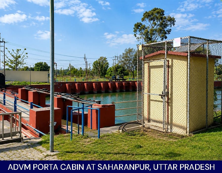
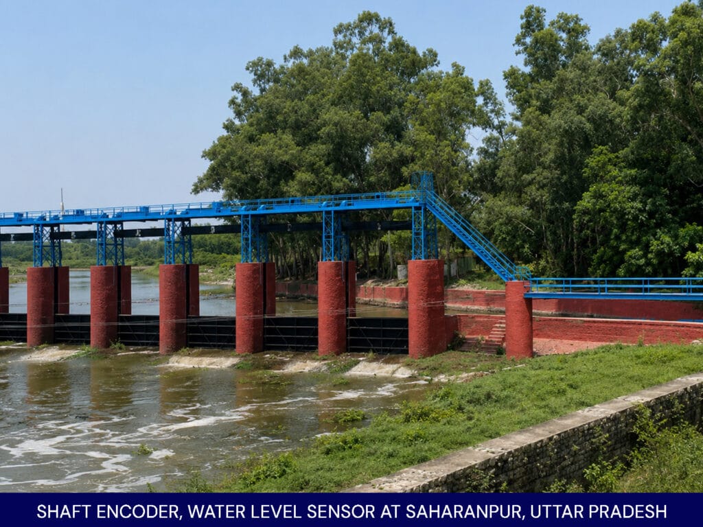
A Real-Time Data Acquisition System (RTDAS) has been deployed at 85 key canal locations to track flow conditions and infrastructure performance continuously, supporting smoother operations and better water management.
The network combines Acoustic Doppler Velocity Meters (ADVMs), water level sensors, gate position monitoring systems, Rain Gauge, GSM/GPRS telemetry, and centralized monitoring software to create digital ecosystem across the canal corridor. Supported by solar-powered field infrastructure, the deployment delivers instant access to discharge, water levels, gate operations, and rainfall conditions.
Through IoT-enabled communication and centralized analytics, field data is transmitted to a unified monitoring platform, supporting irrigation scheduling, demand forecasting, GIS-based visualization, and evidence-based decision-making across the Eastern Yamuna Canal system.
By transforming fragmented field observations into a connected digital monitoring platform, the RTDAS system enhances operational visibility, improves irrigation efficiency, strengthens water allocation planning, and supports informed management of one of Uttar Pradesh’s most important canal systems. Through this deployment, Aaxis Nano continues to contribute to the modernization of India’s water infrastructure and the advancement of hydrological intelligence at scale.