locations across
dams, rivers and
stream sub-basins
Digital Hydrology Strengthens Water Governance in Madhya Pradesh
A unified Real-Time Data Acquisition System (RTDAS) strengthens Madhya Pradesh’s flood preparedness, planning and water-resource decisions.
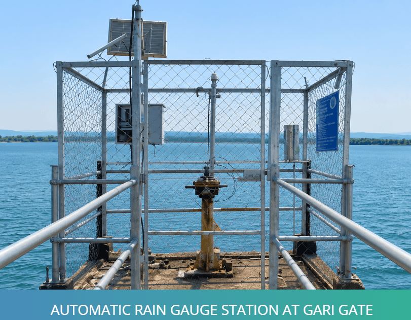
Madhya Pradesh’s water-resource management has gained a sharper digital layer under the World Bank-supported National Hydrology Project, with the Water Resources Department bringing critical dam, river and rainfall observations into a centralised monitoring framework. Enabled by Aaxis Nano Technologies through field instrumentation, telemetry and system integration, the network connects strategic locations to the Bhopal data centre, strengthening the state’s capacity for timely review, flood preparedness and coordinated decision-making.
The project links 40 strategic monitoring locations across dams, rivers and stream sub-basins, responding to Madhya Pradesh’s growing need for dependable hydrological visibility amid climate variability, flood risk and rising water demand. By replacing fragmented reporting with a connected data framework, the system supports forecasting, operational review, planning and administrative decision-making with greater clarity.
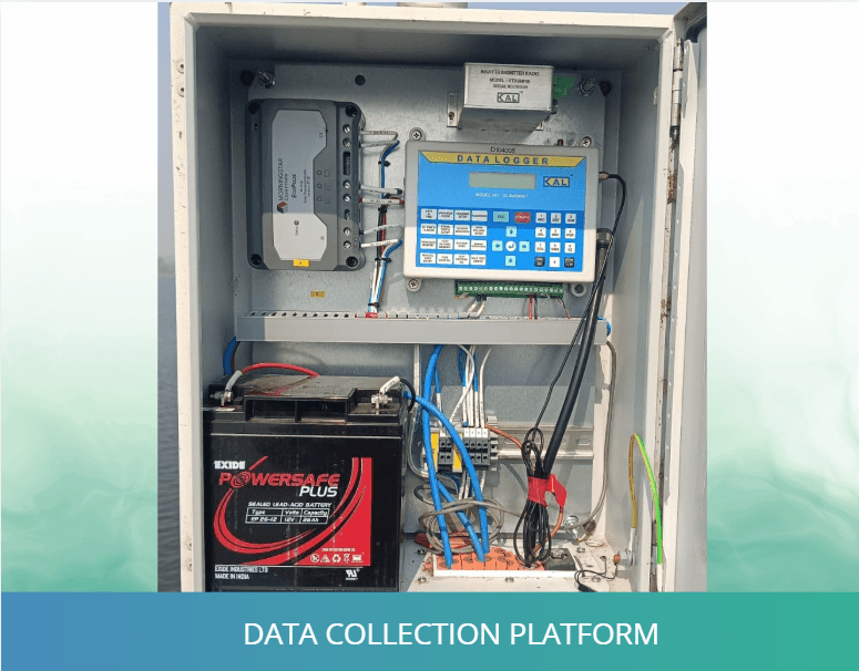
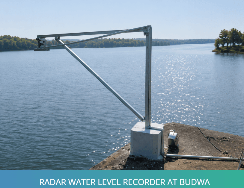
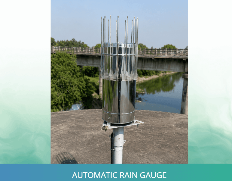
At the field level, the deployment includes Automatic Water Level Recorders and Automatic Rain Gauges for continuous measurement of water levels and rainfall. Supported by Yagi antennas, solar panels, data collection platforms, data loggers, tipping-bucket assemblies and protected station infrastructure, the setup is designed to maintain reliable performance across remote dam and river locations.
For seamless data movement, the system uses GSM/GPRS and INSAT-based communication, allowing observations from dispersed sites to reach WRD’s central monitoring framework. Integration with the department’s e-SWIS platform enables visualisation, calibration, validation and wider access for Chief Engineer offices and key departments, strengthening coordination across the state’s water-management ecosystem.
Backed by a five-year operations and maintenance commitment, the project reflects Aaxis Nano’s capability in combining instrumentation, telemetry and platform integration for large-scale hydrological governance. By converting scattered field readings into structured, decision-ready information, the initiative strengthens Madhya Pradesh’s preparedness for flood response, water planning and long-term resource resilience.