A Unified Digital Hydrology Powers Resource Management across Madhya Pradesh

Automatic Rain Gauge Station at site Rupaniakhal

Across Madhya Pradesh’s dispersed water monitoring network, the Water Resources Department (WRD) faced challenges in achieving
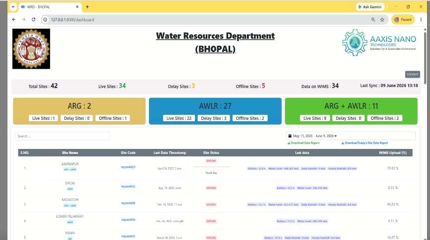
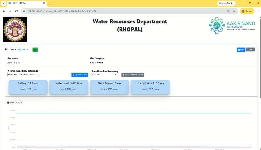
real-time visibility, seamless system integration and reliable data availability for flood forecasting and water resource management. To meet the objectives of the World Bank-supported National Hydrology Project, a unified Real-Time Data Acquisition System (RTDAS) was required across 40 strategic monitoring locations throughout the state

Data to Decisions

Aaxis Nano deployed a scalable Real-Time Data Acquisition System (RTDAS) backed by a five-year Operations & Maintenance commitment, combining advanced field instrumentation with resilient telemetry and centralized monitoring capabilities. Advanced monitoring instruments, including Automatic Water Level Recorders (AWLRs)1 and Automatic Rain Gauges (ARGs)2 , were deployed to capture continuous hydrological data, while GSM/GPRS and INSAT-based communication ensured uninterrupted transmission from remote locations. Integrated with WRD’s e-SWIS platform, the solution enabled real-time visualization, calibration and validation of data, while connecting Chief Engineer Offices and key departments through a centralized framework for coordinated water resource management across the state.

Madhya Pradesh faces increasing challenges from climate variability, flood risk and rising water demand, making real-time water intelligence essential for effective resource management. Under the National Hydrology Project, the Water Resources Department (WRD) partnered with Aaxis Nano to implement a RealTime Data Acquisition System (RTDAS), integrating 40 critical monitoring locations across dams, rivers and stream sub-basins into a centralized data centre in Bhopal, delivering continuous visibility and real-time hydrological

Redefined Operational Control

With the RTDAS platform fully operational, hydrological governance in Madhya Pradesh moved from uncertainty to clarity. Real-time visibility across 40 strategic dam and river monitoring locations replaced fragmented data streams, enabling faster responses to emerging water and flood risks. Continuous access to reliable hydrological information strengthened disaster preparedness while providing planners, engineers and administrators with a centralized foundation for informed decision-making.

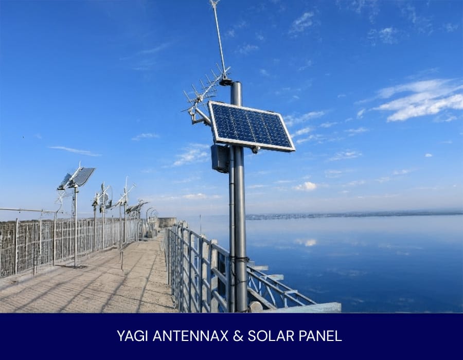
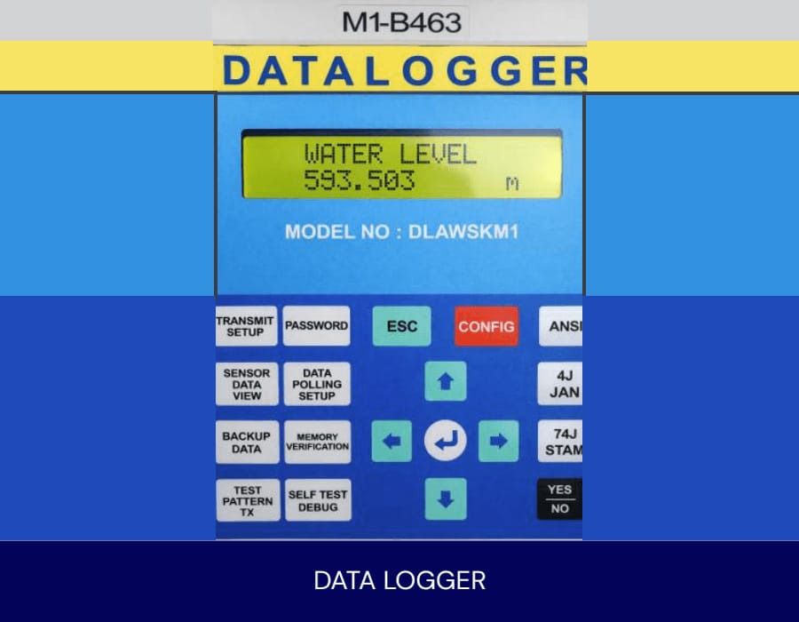
Delivered by Aaxis Nano, the RTDAS transformed disconnected monitoring assets into a unified hydrological intelligence network. By bringing together instrumentation, telemetry and system integration, the initiative converted delayed reporting into real-time insight and turned observation into foresight, strengthening Madhya Pradesh’s capacity for proactive and resilient water resource management.
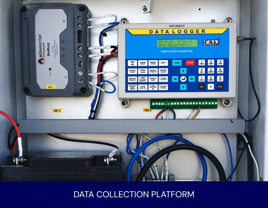
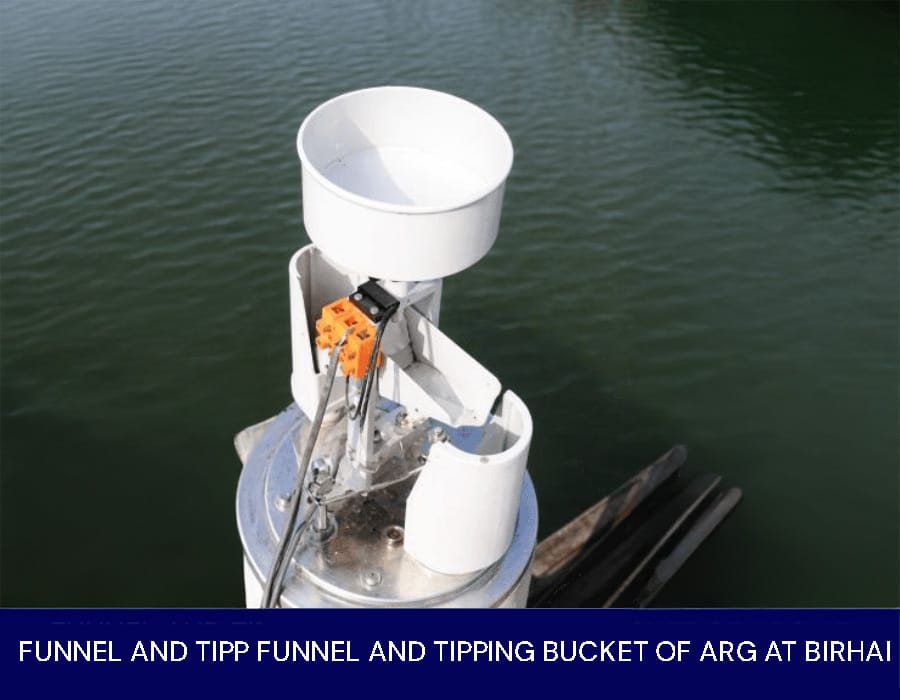
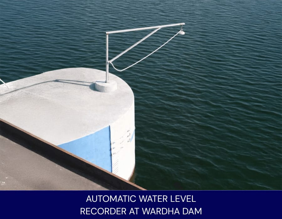
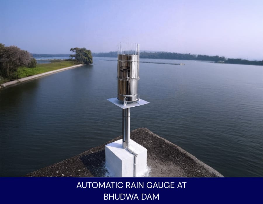
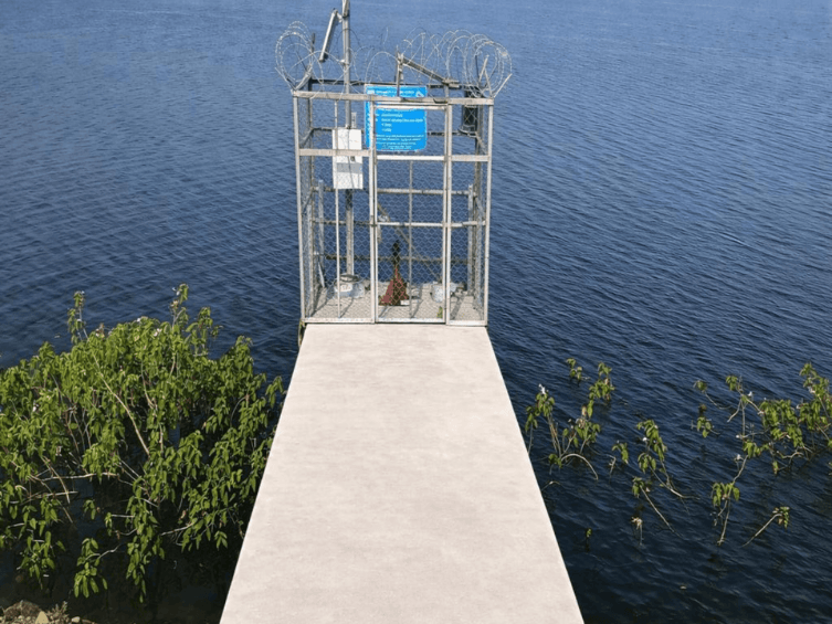
1Automatic Water Level Recorders (AWLRs) –OTT RLS by OTT HydroMet GmbH

2Automatic Rain Gauges (ARGs)- 5600-0525-5 by SUTRON

Photo Gallery

Yagi Antennax & Solar Panel
Data Collection Platform
Automatic Water Level Recorder at Wardha Dam
Automatic Rain Gauge at Bhudwa Dam
Scroll to Top