A Unified Digital Hydrology
Powers Resource Management
across Madhya Pradesh
real-time visibility, seamless system integration and reliable data availability for flood forecasting and water resource management.
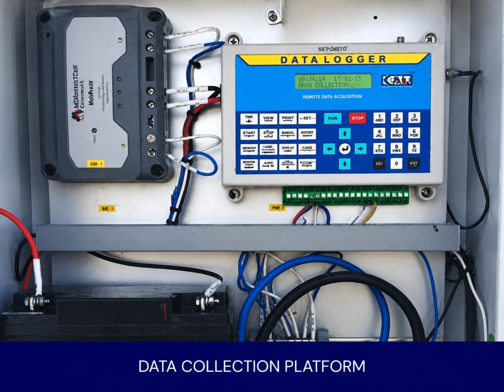
To meet the objectives of the World Bank-supported National Hydrology Project, a unified Real-Time Data Acquisition System
(RTDAS) was required across 40 strategic monitoring locations throughout the state
Data to Decisions
Redefined Operational Control
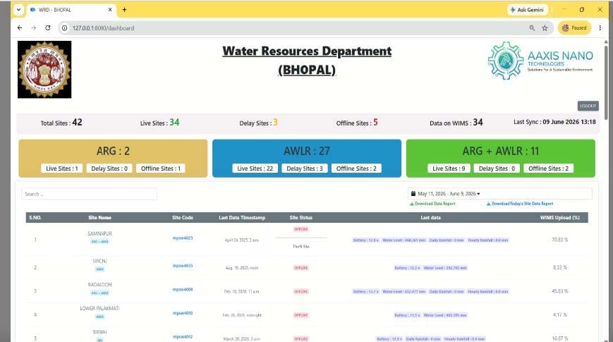
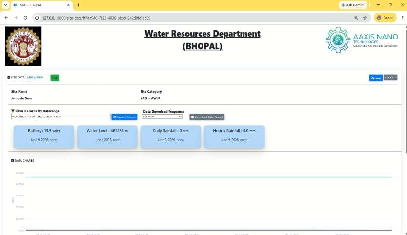
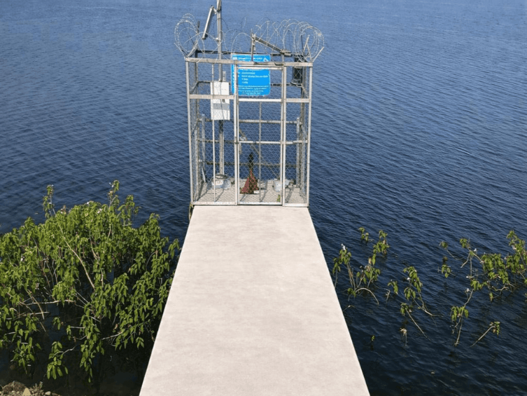
With the RTDAS platform fully operational, hydrological governance in Madhya Pradesh moved from uncertainty to clarity. Real-time visibility across 40 strategic dam and river monitoring locations replaced fragmented data streams, enabling faster responses to emerging water and flood risks. Continuous access to reliable hydrological information strengthened disaster preparedness while providing planners, engineers and administrators with a centralized foundation for informed decision-making.
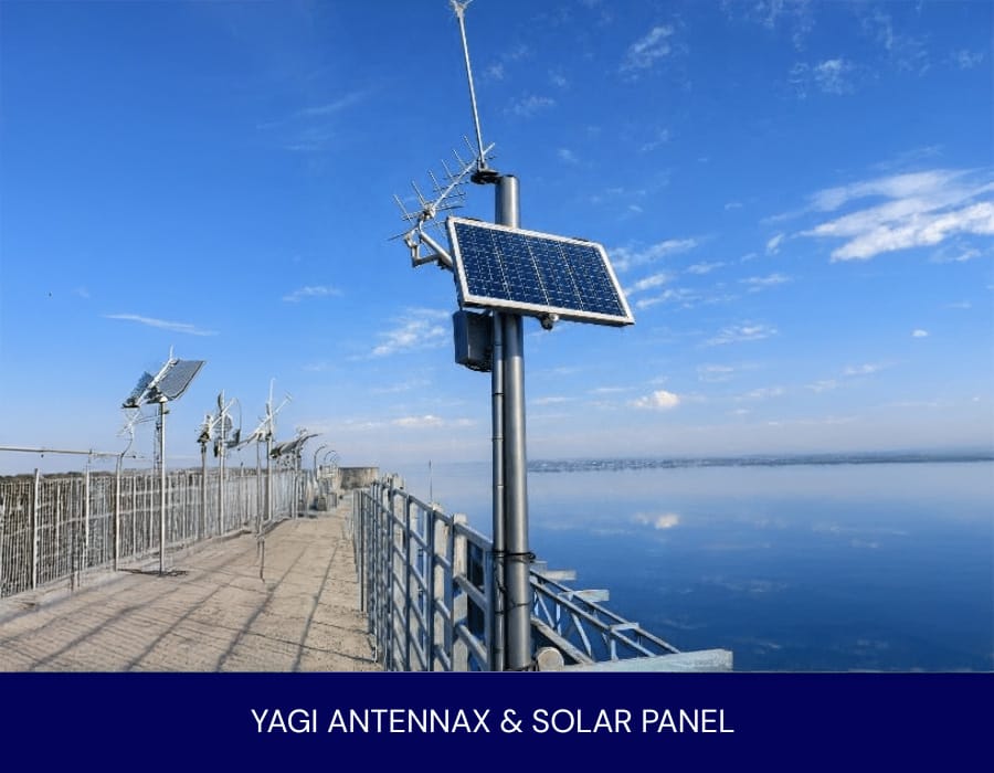
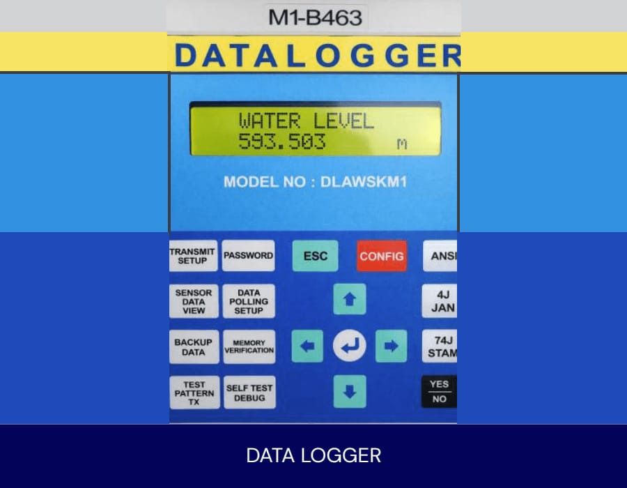
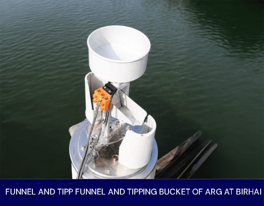
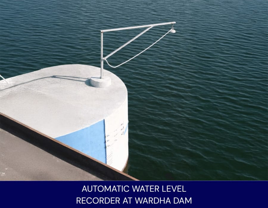
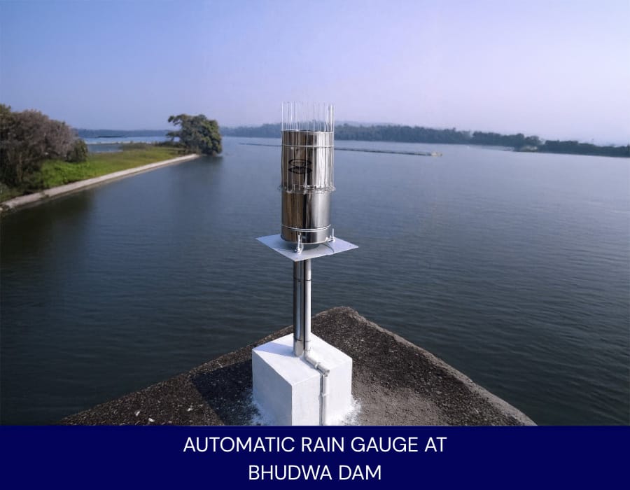
Delivered by Aaxis Nano, the RTDAS transformed disconnected monitoring assets into a unified hydrological intelligence network. By bringing together instrumentation, telemetry and system integration, the initiative converted delayed reporting into real-time insight and turned observation into foresight, strengthening Madhya Pradesh’s capacity for proactive and resilient water resource management.
Photo Gallery